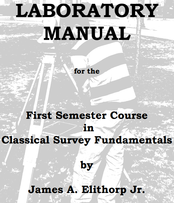
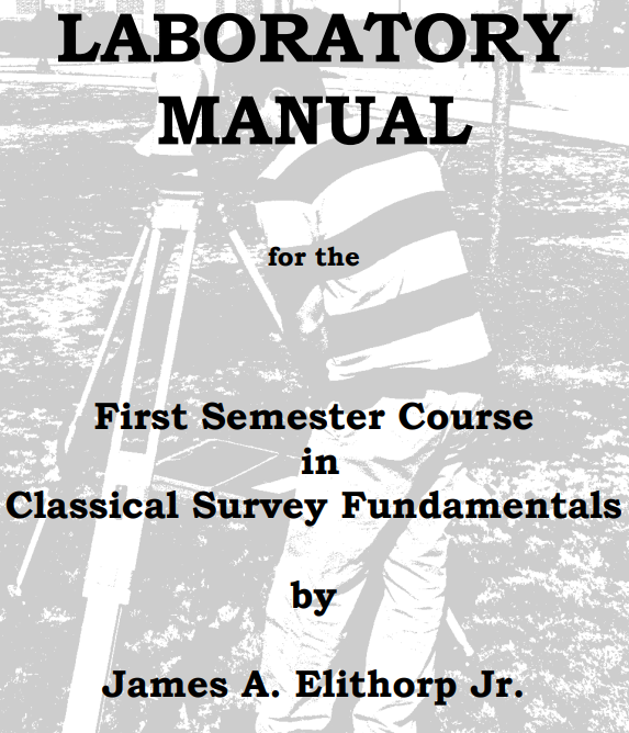
Laboratory Manual for the First Semester Course in Classical Survey Fundamentals

Choose Your Format

The Laboratory Manual for the First Semester Course in Classical Survey Fundamentals introduces students to the fundamental principles and field techniques used in land surveying. Through a combination of field exercises, computer applications, and computational laboratories, the manual provides practical experience with surveying equipment, measurement techniques, angle and distance calculations, leveling, traversing, and topographic mapping. Students develop the technical skills necessary to collect, analyze, and interpret spatial data while learning the standards and procedures used by professional surveyors.

Throughout the manual, students complete hands-on laboratory activities using instruments such as total stations, compasses, levels, and measuring tapes to perform real-world surveying tasks. Additional appendices provide guidance on laboratory reports, field book organization, significant figures, tripod setup, topographic mapping, and statistical analysis for surveyors. By emphasizing accuracy, precision, data recording, and problem-solving, the manual prepares students for advanced surveying coursework and careers in surveying, civil engineering, construction, geomatics, and other geospatial professions.

LAB OBJECTIVES 

CONDUCT OF LABORATORY 

NOTE TO LAB INSTRUCTORS

FIELD/COMPUTER/COMPUTATION LABS
          1. SETTING UP A TOTAL STATION 
          2. COMPUTATION OF ANGLES AND DIRECTIONS 
          3. ORDINARY TAPING LAB 
          4. COMPASS LAB 
          5. CLOSING THE HORIZON 
          6. BASELINE MEASUREMENT 
          7. INACCESSIBLE POINT 
          8. TRAVERSE LAB
          9. DIFFERENTIAL LEVELING
          10. PROFILE LEVELING (Two Week Lab)
          11. TOPOGRAPHIC MAPPING LAB 
          12. TRAVERSE PLAT (Weather Lab) 
          13. USGS 7 ½’ TOPOGRAPHIC MAP LAB (Weather Lab)
          14. STATISTICS LAB (Optional) (Weather Lab) 

APPENDIX A LAB REPORT FORMAT

APPENDIX B SIGNIFICANT DIGITS 

APPENDIX C GRADING OF FIELD BOOKS

APPENDIX D SETTING A TRIPOD 

APPENDIX E TOPOGRAPHIC MAPPING

APPENDIX F STATISTICS FOR SURVEYORS

JAMES A ELITHORP JR

The Laboratory Manual for the First Semester Course in Classical Survey Fundamentals introduces students to the fundamental principles and field techniques used in land surveying. Through a combination of field exercises, computer applications, and computational laboratories, the manual provides practical experience with surveying equipment, measurement techniques, angle and distance calculations, leveling, traversing, and topographic mapping. Students develop the technical skills necessary to collect, analyze, and interpret spatial data while learning the standards and procedures used by professional surveyors.

Throughout the manual, students complete hands-on laboratory activities using instruments such as total stations, compasses, levels, and measuring tapes to perform real-world surveying tasks. Additional appendices provide guidance on laboratory reports, field book organization, significant figures, tripod setup, topographic mapping, and statistical analysis for surveyors. By emphasizing accuracy, precision, data recording, and problem-solving, the manual prepares students for advanced surveying coursework and careers in surveying, civil engineering, construction, geomatics, and other geospatial professions.

LAB OBJECTIVES 

CONDUCT OF LABORATORY 

NOTE TO LAB INSTRUCTORS

FIELD/COMPUTER/COMPUTATION LABS
          1. SETTING UP A TOTAL STATION 
          2. COMPUTATION OF ANGLES AND DIRECTIONS 
          3. ORDINARY TAPING LAB 
          4. COMPASS LAB 
          5. CLOSING THE HORIZON 
          6. BASELINE MEASUREMENT 
          7. INACCESSIBLE POINT 
          8. TRAVERSE LAB
          9. DIFFERENTIAL LEVELING
          10. PROFILE LEVELING (Two Week Lab)
          11. TOPOGRAPHIC MAPPING LAB 
          12. TRAVERSE PLAT (Weather Lab) 
          13. USGS 7 ½’ TOPOGRAPHIC MAP LAB (Weather Lab)
          14. STATISTICS LAB (Optional) (Weather Lab) 

APPENDIX A LAB REPORT FORMAT

APPENDIX B SIGNIFICANT DIGITS 

APPENDIX C GRADING OF FIELD BOOKS

APPENDIX D SETTING A TRIPOD 

APPENDIX E TOPOGRAPHIC MAPPING

APPENDIX F STATISTICS FOR SURVEYORS

JAMES A ELITHORP JR