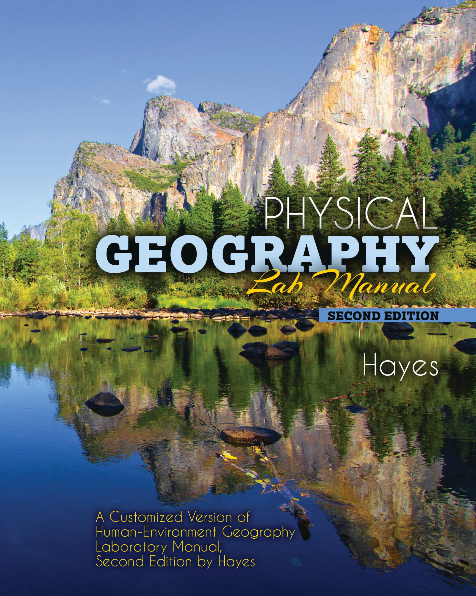
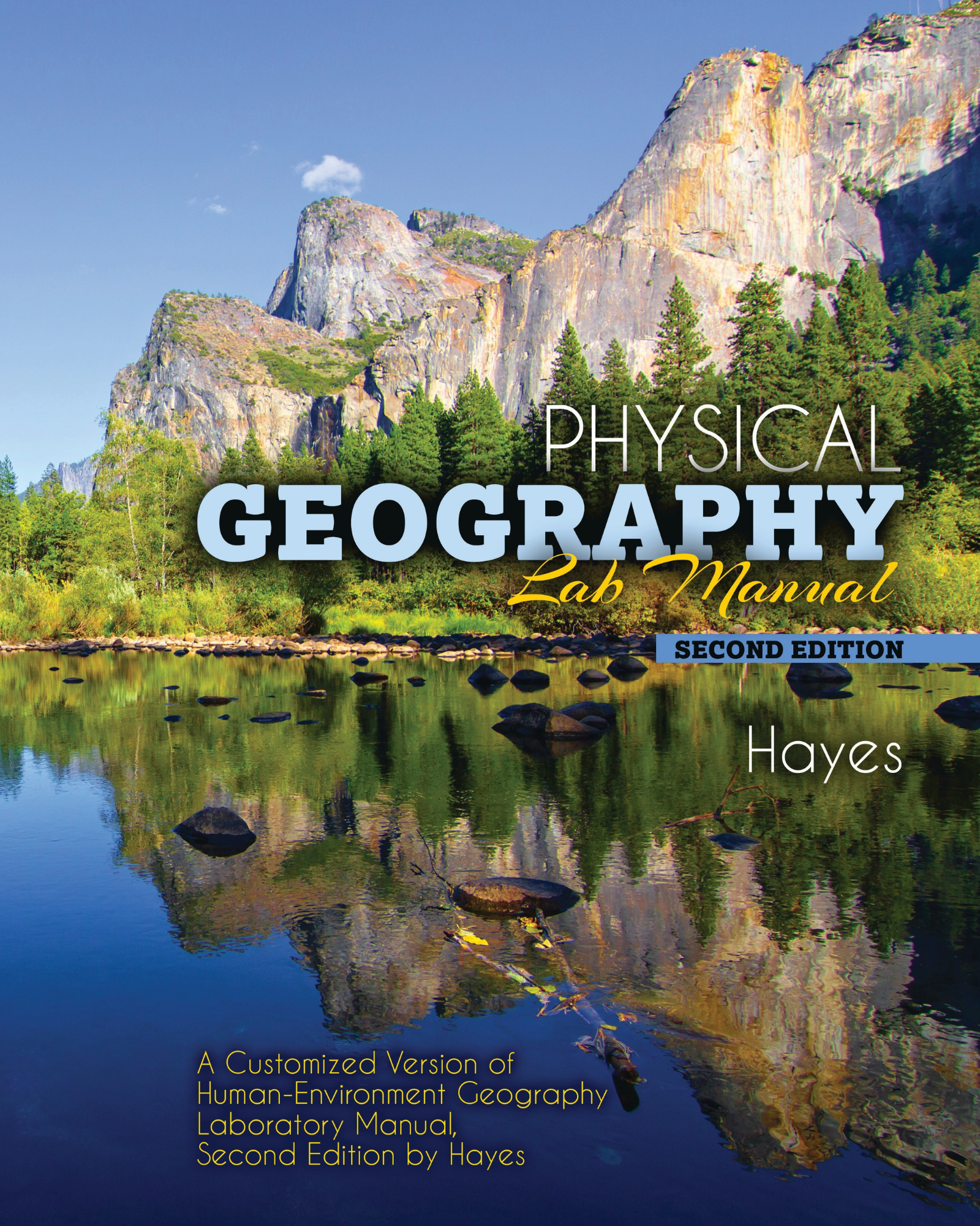
Physical Geography Lab Manual: A Customized Version of Human-Environment Geography Laboratory Manual, second edition by Hayes
Edition: 2
Copyright: 2020
Pages: 108
Edition: 2
Copyright: 2020
Pages: 108
Choose Your Format
Choose Your Platform | Help Me Choose


$47.00 USD
Ebook
$37.00 USD
This lab manual provides an introduction to physical geography and Earth system processes through hands-on scientific investigation and data analysis. Students begin with foundational skills in scientific measurement, unit conversion, map reading, and graphical interpretation, which support later work with spatial and environmental data. Early exercises emphasize understanding geographic tools such as graticules, topographic maps, and contour lines, along with methods for visualizing terrain and interpreting landforms.
As the manual progresses, students explore key atmospheric and hydrologic processes, including temperature, water vapor, urban heat islands, and air quality. Additional labs focus on analyzing climate data, sea-surface temperature changes, recurrence intervals, and water balance in relation to drought conditions. Through these activities, students develop practical skills in geographic analysis and gain a deeper understanding of the relationships between physical systems, environmental change, and spatial patterns on Earth.
Lab 1 Scientific Measurement and Converting Measurement Units
Lab 2 Map Reading, Graticule, and Location
Lab 3 Graphing and Analyzing Climate Data
Lab 4 Topographic Map Reading
Lab 5 Drawing Contour Lines and Topographic Profiles
Lab 6 Water Vapor, Heat, and Temperature
Lab 7 Urban Heat Island and Air Quality
Lab 8 Recurrence Intervals
Lab 9 Mapping Sea-surface Temperature Changes
Lab 10 Water Balance and Drought
Dr. Hayes has taught physical geography for over 15 years. His teaching has included physical geography lecture and lab courses, environmental conservation, weather and climate, and geospatial technology and cartography. Dr. Hayes has conducted research and fieldwork in a range of ecological systems which include the Mid-Western deciduous forest, the southern Rocky Mountains and Sierra Nevada, the Mojave Desert, and the coastal woodlands and scrub of California.