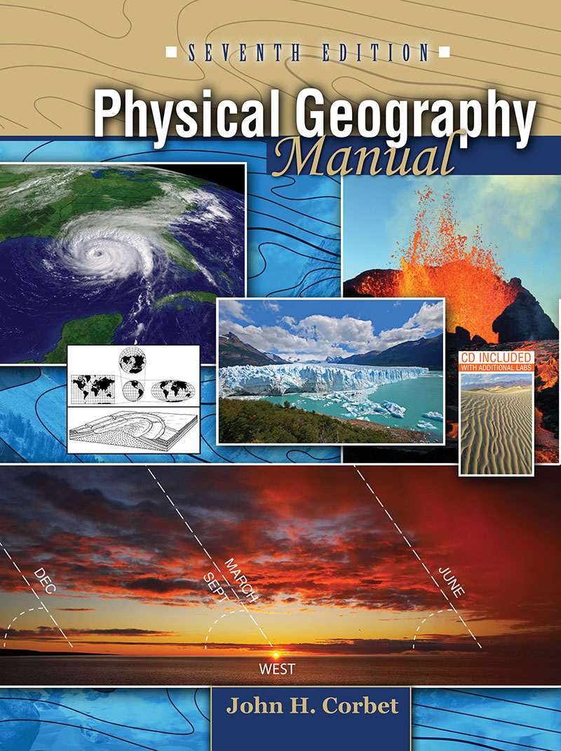
Physical Geography Manual
Edition: 7
Copyright: 2010
Edition: 7
Copyright: 2010
Pages: 595
Choose Your Format
Choose Your Platform | Help Me Choose
Print Package
$80.84 USD
Ebook
$76.99 USD
Physical Geography Manual is the ideal companion for any physical geography course or text. With 29 labs to choose from, it allows the instructor to select the labs that best fit the course objectives. The instructor determines which labs to use and in what order to assign them. The labs offer a spectrum of material that challenges students, but at the same time, covers the basics. The letter-number identifications on all exercises enable the instructor to easily assign or omit specific exercise questions.
Lab exercises cover topics such as:
- Earth-Sun Relations
- Weather and Climate
- Thunderstorms
- Hurricanes and Tornadoes
- Map Reading
- Air Photo Interpretation
- Landforms of Rivers, Glaciers, Shorelines, and Wind
Physical Geography Manual is more than just a collection of exercises and questions. Compared to the typical lab manual, it provides a greater amount of textual and explanatory information. Students with various backgrounds in geography will be able to complete the labs with minimal instruction. There are 24 full-color topographic maps, over 250 diagrams and more than 200 ground and aerial photographs to further expand their learning.
The seventh edition also includes sections on the electromagnetic spectrum, the greenhouse effect, and global warming. A CD is included with additional exercises that can be selectively added to the appropriate semester work.
Brief Table of Contents
PART ONE
Exercise A: Geographic Grid, Shape and Size of the Earth
Exercise B: Earth Motions, Earth-Sun Relations as Viewed from Space
Exercise C: Earth-Sun Relations--Observations Made from the Earth
Exercise D: Time
Exercise E: The Atmosphere--Solar Radiation, Greenhouse, Global Warming
Exercise F: Temperature--Surface Effects, Measurements
Exercise G: Atmospheric Pressure, Winds, Ocean Currents, and El Niño
Exercise H: Atmospheric Moisture, Clouds, and Precipitation Types
Exercise I: Air Masses, Fronts, and the Midlatitude Cyclone
Exercise J: Thunderstorms
Exercise K: Tornadoes
Exercise L: Hurricanes
Exercise M: Climate Classification
Exercise N: The Tropical Rainy Climates (A)
The Dry Climates (B)
Exercise O: The Humid Mesothermal Climates (C)
The Humid Microthermal Climates (D)
The Polar Climates (E)
PART TWO
Exercise P: Map Projections
Exercise Q: Introduction to Topographic Quadrangles; Township and Military Grids
Exercise R: Directions and Use of the Magnetic Compass
Exercise S: Map Scales
Exercise T: Topographic Contours
Exercise U: Air Photo Interpretation
Exercise V: Volcanic and Tectonic Landforms
Exercise W: Streams and Fluvial Landforms
Exercise X: The Mississippi River
Exercise Y: Climate, Structure, and Landmass Denudation
Exercise Z: Ground Water and Karst Topography
Exercise AA: Glacial Topography
Exercise BB: Shoreline Landforms
Exercise CC: Landforms Produced by Wind
Appendix A: The Metric System
Appendix B: Selected Pages from Disk Exercises
Appendix C: Topographic Map Symbols and Maps Appearing in Manual